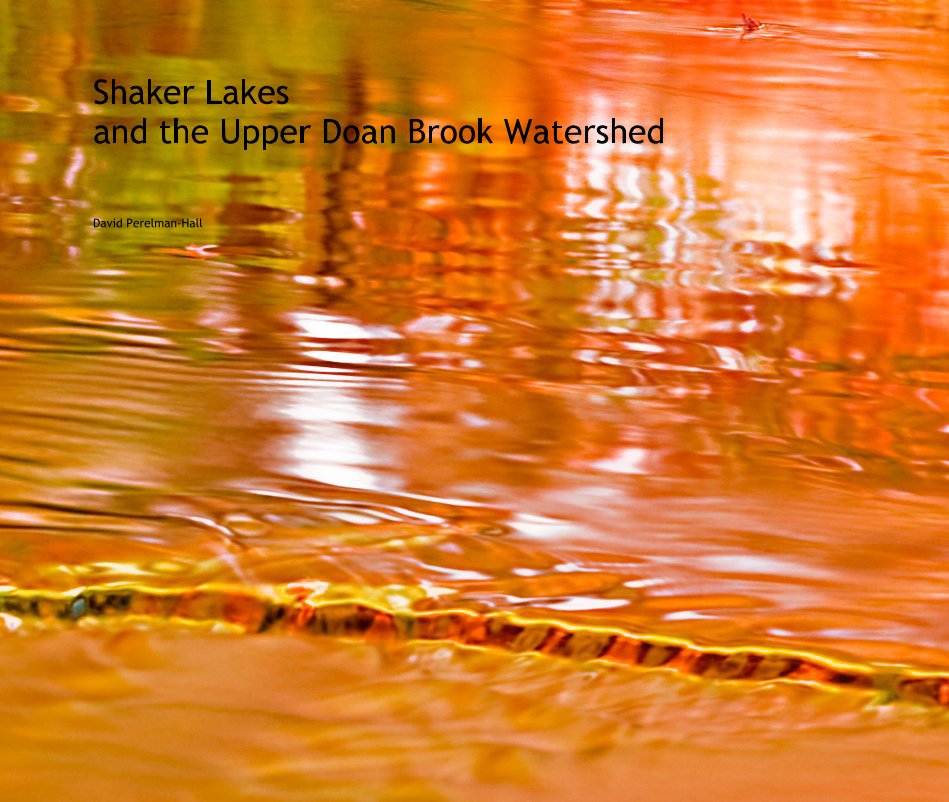
Shaker Lakes and the Upper Doan Brook Watershed
door David Perelman-Hall
Dit is de prijs die uw klanten zien Prijslijst bewerken
Over het boek
I began photographing the upper reaches of the Doan Brook watershed in 1996. This watershed, better known as the Shaker Lakes after the Shaker peoples who first settled the region, forms part of the natural drainage basin of several of Cleveland's east-side suburbs. It offers lake, gorge, river, waterfall, marsh, field, and forest, all undergoing the full set of seasonal changes evident in northeast Ohio.
It is nearby and convenient for fulfilling the inspirations of a fledgling photographer who lives near a city instead of on the doorstep of a national park. I can get up and make a visit to this area almost any day before work, or just after work, and that makes it possible to gain the deep acquaintance needed to know when and where to be to take best advantage of the light.
The Shaker Lakes region was nearly paved over in the 1960's/70's to make way for the Clark and Lee freeways. A grass roots citizen-led fight stopped the building of the freeways, and as a result we have the natural preserve shown in these images.
kenmerken / functionaliteiten & details
- Hoofdcategorie: Kunstfotografie
-
Projectoptie: Groot liggend, 33×28 cm
Aantal pagina's: 110 - Datum publiceren: jan 03, 2009
- Trefwoorden fine art, doan brook, shaker lakes, ohio, nature
Meer...

